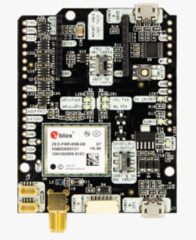
Today we are happy to share this customer project that makes use of u-blox ZED-F9R: GNSS RTK and 6-axis IMU fused together to achieve centimeter-level accuracy outdoors, while keeping decimeter-level accuracy inside short tunnels and meter-level accuracy in longer tunnels.
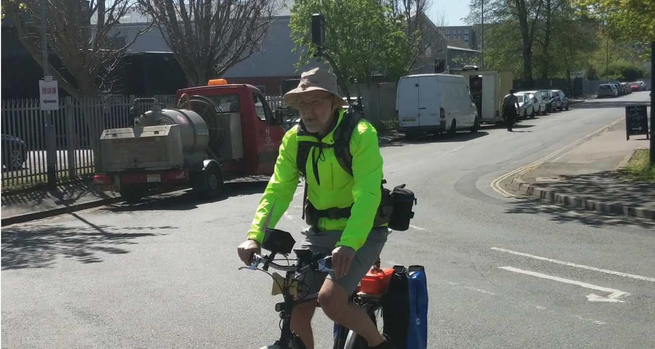
Jim Gayes has been a Google Trusted Partner, capturing Google Street View imagery of outside spaces since 2016 and more recently publishing imagery to the Mapillary mapping platform too. He has currently captured imagery in 8 countries across Europe.
 Today we are happy to share this customer project that makes use of u-blox ZED-F9R: GNSS RTK and 6-axis IMU fused together to achieve centimeter-level accuracy outdoors, while keeping decimeter-level accuracy inside short tunnels and meter-level accuracy in longer tunnels.
Jim Gayes has been a Google Trusted Partner, capturing Google Street View imagery of outside spaces since 2016 and more recently publishing imagery to the Mapillary mapping platform too. He has currently captured imagery in 8 countries across Europe.



Leave a comment
This site is protected by hCaptcha and the hCaptcha Privacy Policy and Terms of Service apply.