Map Your Town 360° Street View in Africa
Nothing can stop us now
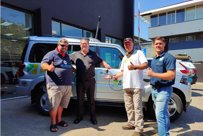 Map Your Town
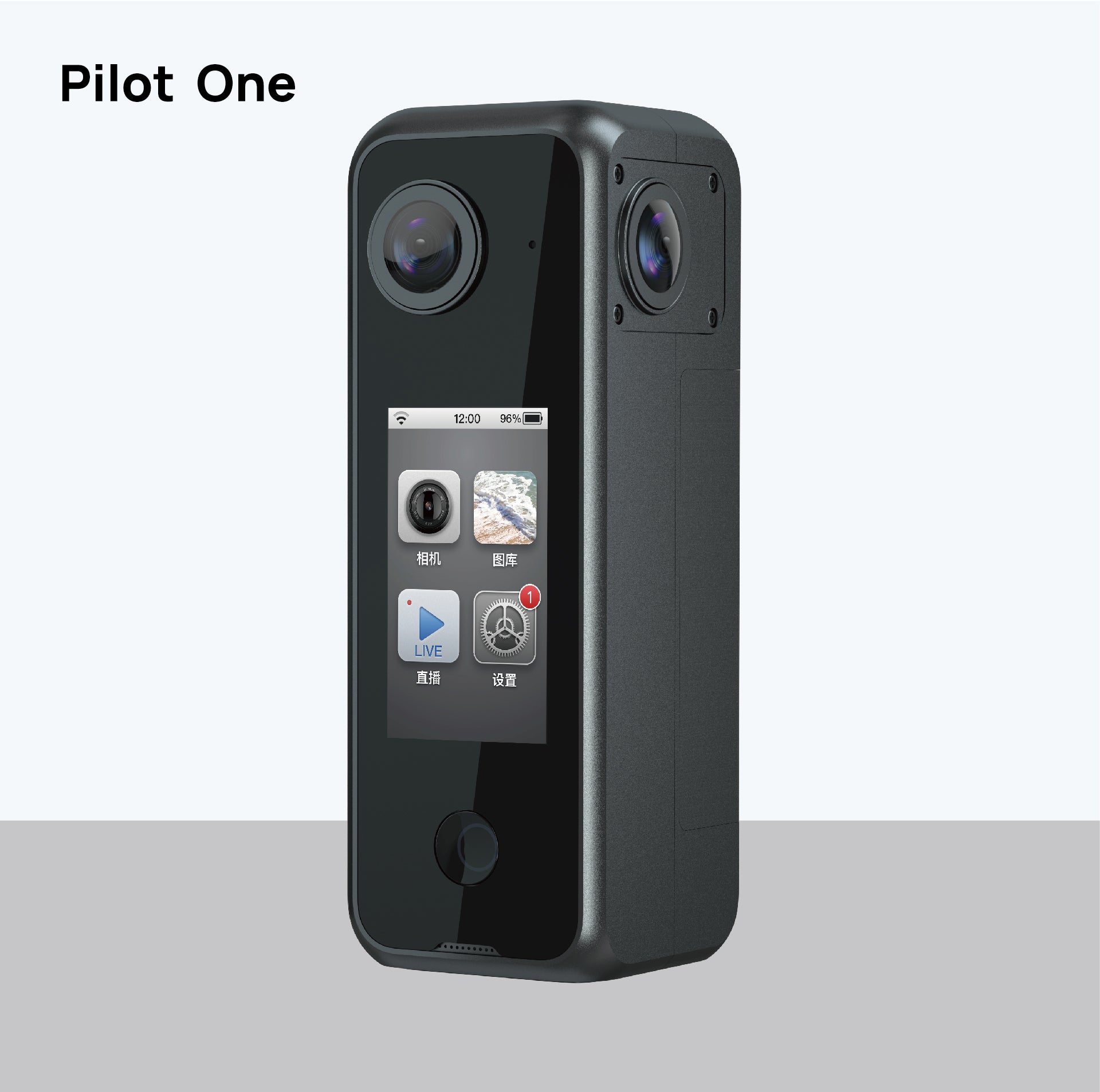
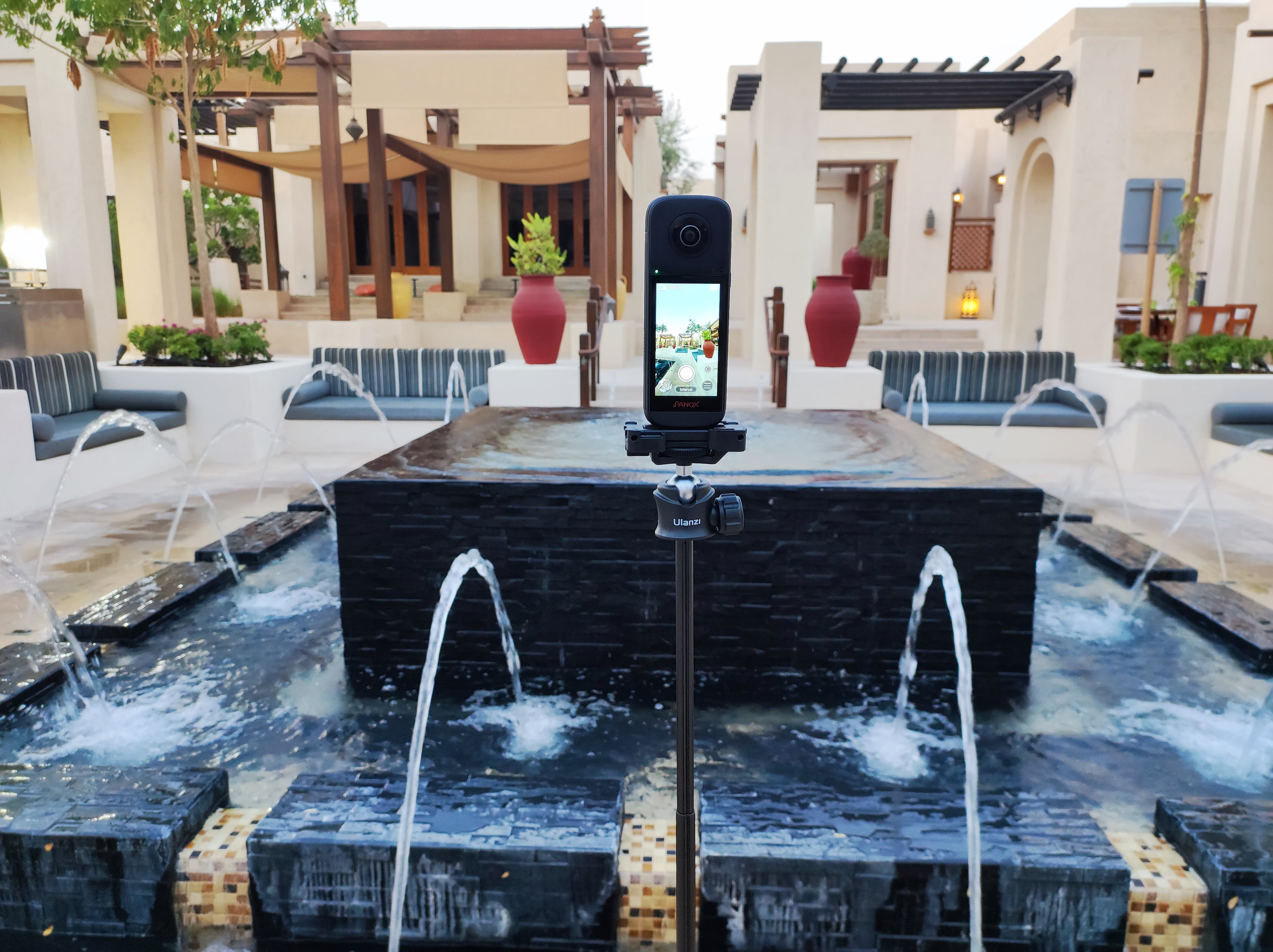
Google Street View allows people to immersive virtual tour streets, cities, trails, mountains, and rivers worldwide to their fullest without leaving home. In 2019, Labpano released its first 360 panoramic camera Pilot Era, with a 3.1-inch interactive smart touch screen, integrating panoramic 8K photo and video, live streaming all-in-one. In addition, it supports Google Street View that enables one-click shooting and straight upload to Google Maps to generate blue lines without post-stitching. The Pilot Era brought a revolutionary innovation for the entire panorama industry. After it was released, it quickly attracted the attention of photographers in the field of panorama and Google Street View, and Chris du Plessis began to use the Pilot Era in Street View Photography in Africa since then.
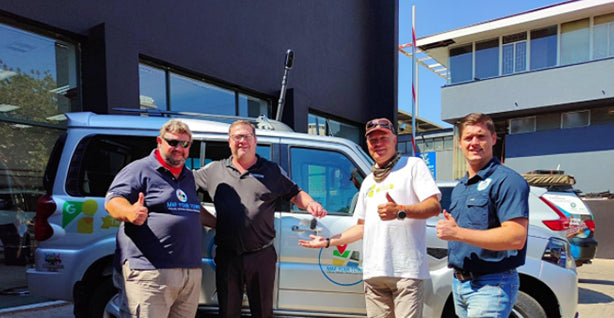
In 2020, Labpano unveiled the Pilot One EE, during the same year, Chris du Plessis set up Map Your Town. Now, Pilot cameras become a must-have tool for Map Your Town in their street view photography.
 Map Your Town and Pilot Cameras in Africa
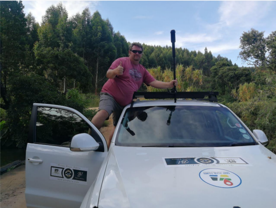
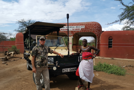 Chris du Plessis in Kenya
“I believe that the true beauty of Africa can not only be seen, it can also not only be captured, it needs to be felt. This is why I decided to go further and use 360 cameras. To experience wild Africa with me, to make you feel the sound of a roaring lion. When you get charged by Africa’s dangerous animals, to make you feel the fear that penetrates your body. This is my Africa and I want to share it with you.”
This is the story of an avid Google Street View photographer Chris du Plessis from Germany capturing wild Africa.
Map Your Town 360° Google Street View Story
Map Your Town uses the panoramic Pilot cameras on Google Street View, sharing with us the story of Africa. In the past few years, they have been to rainforests, Gobi, deserts, wetlands, grasslands, mountains, and forests, and they have seen hundreds of wild animals. A heart that loves Google Street View photography and nature drives them to keep exploring.
The ubiquitous spirit of adventure and the wild breath of nature make the team frequently enter Africa. Through their footage, you can see the elephants are quietly walking in the shadow of off-road vehicles, hyenas are fiercely attacking people who are gradually approaching, and Zebras are migrating into the distance in the grass.
This is Chris du Plessis and his team-Map Your Town, not a thing can stop their love of street view photography, wild and bold, full of passion. We can see another side of Chris on social media, return to family, he is a gentle husband and humorous father. He loves Google Street View photography and devotes all his enthusiasm and energy to it. As Chris said: “ there is nothing, even the current COVID-19 pandemic, that can stop my steps in Africa. If you want, you can always move on.” Said this, he was in his German home to accompany the family, start enjoying the 2021 Christmas season, still with the Pilot Era in his hands, uploading a 4TB of Google Street View Video to Google Maps.
Unlike traditional panoramic cameras, Pilot cameras do not require cumbersome third-party stitching and editing tools. Pilot Cameras supports One-click street view shooting and in-camera uploading to Google maps, the most fast and convenient workflow makes Street View never been so easy. Chris said since they have the Pilot cameras, any street view photography has become very simple.
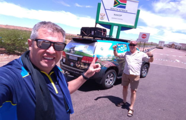
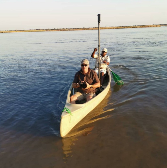
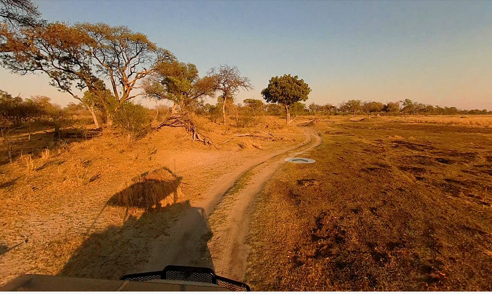
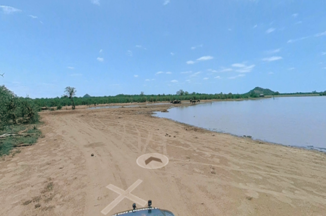
Starting from Namibia, Map Your Town completed the 5,000KM street-view shooting in just 10 days. In Botswana Delta, they spent 1 day shooting 250KM of street view, however, the same journey, it needs to take 3 days with a traditional panoramic camera.
Blue Line: https://goo.gl/maps/krTqcDvvWSbhBgxX8
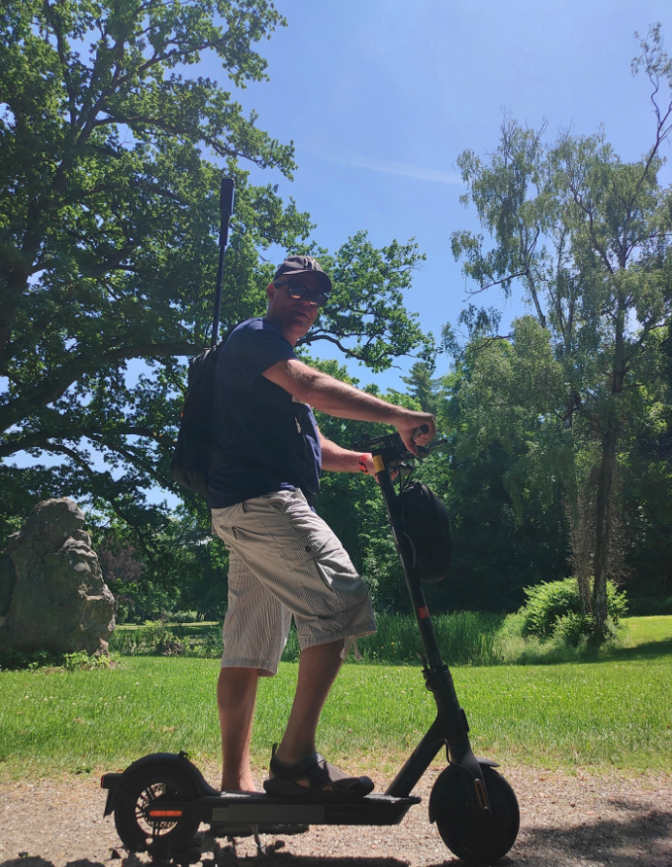
When shooting in South Africa, walking on a forest trail, you can adopt a backpack + camera combination as a workaround, and the place where vehicles could not reach, there were still google street view. “ thanks to the Pilot cameras, there is simply no better equipment than the Pilot camera in Google Street View Photography.” Chris adding.
In Kruger National Park, the largest safari park, Map Your Town spent only 5 days capturing up to 2000KM street views. Chris pointed: “Traditional cameras will never be able to complete a project so fast and brilliantly. I can’t imagine that I would use other cameras to complete such projects. The Pilot camera is the only correct choice. It is like a beast. The sunshine in Africa is usually 40℃, and the dusty in the wild did not affect its normal work. We accidentally dropped the camera to the ground several times, but it still keeps working, which is Miracle.”
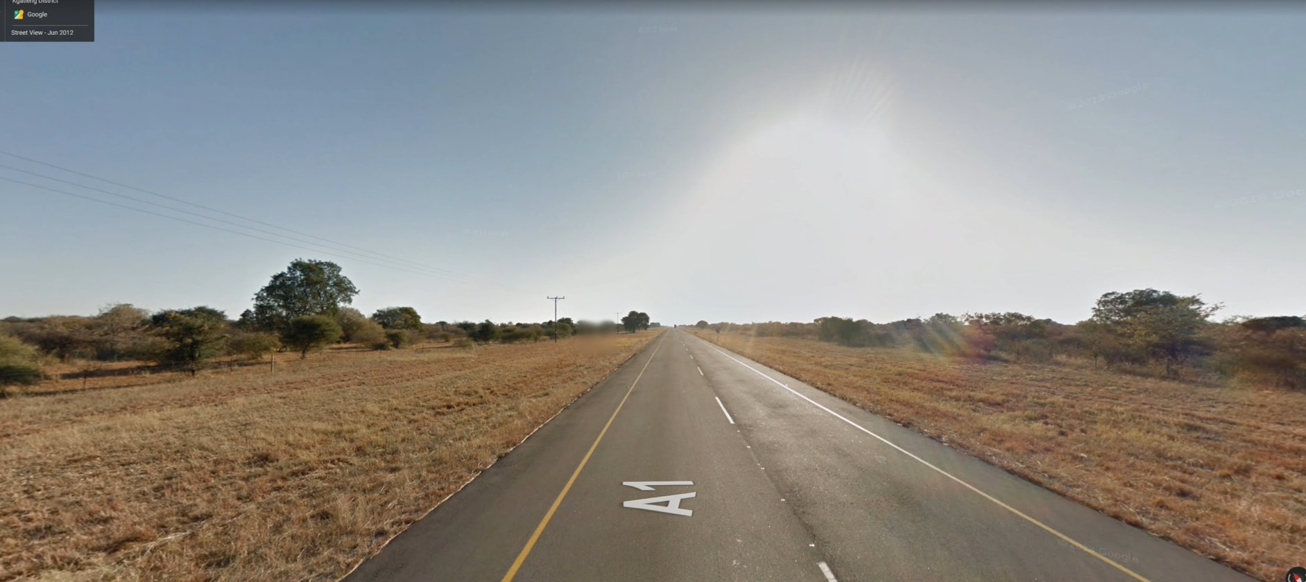
In Botswana in Southern Africa, Chris du Plessis was driving on the highway at the speed of 100 kmph. The normal street view shooting speed should be around 60–80 kmph. “my coronavirus visa is about to expire, and I had to speed up and leave the border as soon as possible. At this speed, no camera can do it, except for the Pilot camera,” said Chris.
Blue Line: https://bit.ly/3ysQI5E
Map Your Town walks into Africa, touches the “Soul of Africa” with their hearts, recording “Colorful and Wild Africa” with panoramic cameras. Just as Chris says in the video: “This is the Africa I love, and I want to share it with everyone.” This is also the story of the Labpano Pilot cameras and Africa, and we want to share it with everyone!




Leave a comment
This site is protected by hCaptcha and the hCaptcha Privacy Policy and Terms of Service apply.